Wellness
The Hidden Nature Walks in Wollongong Locals Love But Tourists Miss
From Balgownie’s leafy ridgelines to the tranquil corners of Mount Keira, Wollongong’s lesser-known trails are quietly becoming a local wellness secret.
3 min read
Wellness
From Balgownie’s leafy ridgelines to the tranquil corners of Mount Keira, Wollongong’s lesser-known trails are quietly becoming a local wellness secret.
3 min read
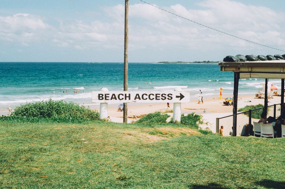
On a crisp winter morning at the foot of the Illawarra Escarpment, a cluster of joggers round a bend in the Balgownie Reserve, well away from the crowds that gather at Wollongong’s more celebrated lookout points. While visitors flock to the Blue Mile or wind their way up to Sublime Point on weekends, a network of lesser-known woodland tracks is quietly establishing itself as the city’s unsung wellness asset.
Many in Wollongong recognise Stuart Park as a running hub and the coastal cycleway as a breezy highlight, but locals like Mary, a longtime Balgownie resident, often slip through the gates off Ryan Street to access the hidden stretches of the Balgownie Trail. Branching east, the path climbs past scribbly gums and damp fern gullies towards Brokers Nose, ducking beneath power lines and emerging at panoramic escarpment edges. With hardly a signpost in sight, the walk has become a favourite for those seeking solitude rather than selfies.
Just as secluded is the Greenhouse Park circuit, tucked between Springhill Road and Masters Road in Coniston. Owned by the Environment Planning & Development Committee and tended by Wollongong Botanic Garden volunteers, this urban bushland supports wallabies, native orchids, and rare red-capped robins. According to council maps, only about 14,000 people use these trails annually — less than a fifth of the daily visitors who pass through the Blue Mile precinct each month during the summer high season.
Recent figures from Destination Wollongong revealed that while tourist numbers are on the rise, most centre their outings around North Beach, the lighthouse, and city centre cafes. A city-wide survey by Illawarra Shoalhaven Local Health District in 2025 found 49% of residents reported increased stress levels compared to pre-pandemic times, with many citing a lack of quiet green places as a growing concern. These trails, many of which cost nothing to access (apart from occasional gold coin donations requested at the trailhead car parks), offer a crucial counterbalance for those seeking calm. Public health advocates argue that even a thirty-minute walk along the Mount Keira Ring Track — entry via Clive Bissell Drive — can lower cortisol levels and boost mood, though hard numbers in a local context are still forthcoming.
Access to these routes is usually free; city council maintains maps on its website and at the tourist office in Crown Street, though in practice, word of mouth and local bushwalking groups such as Illawarra Ramblers or the community-run "Hidden Wollongong Bushwalks" Facebook page serve as the real directories for these under-the-radar trails.
While tourism leaflets keep focus on Wollongong’s famous beaches and headlands, council has started trialing modest new signage along less-marketed tracks such as the Mount Pleasant Nature Reserve loop and the linking paths behind Nan Tien Temple. A project to update online maps will receive $50,000 in council funding in the next financial year. For residents seeking quiet and nature without the carpark hustle, it’s as simple as exploring a different corner of the escarpment — ideally soon, before word spreads further. As always, walkers are advised to check track conditions via the council website and take a friend or join a local bushwalking group for safety. The next Illawarra Ramblers group walk sets off from Foothills Road, Austinmer at 9am next Saturday.
Spread the word
About this article
Published by The Daily Wollongong
Daily brief
Free, in your inbox before 7am. Weekdays.
Stay in the loop