wellness
Wollongong’s Hidden Nature Walks: The Trails Locals Love But Tourists Miss
Beyond the main cycleways and coastal tracks, locals keep quiet about lesser-known bush walks and pockets of green-perfect escapes from the city’s bustle.
How we reported this
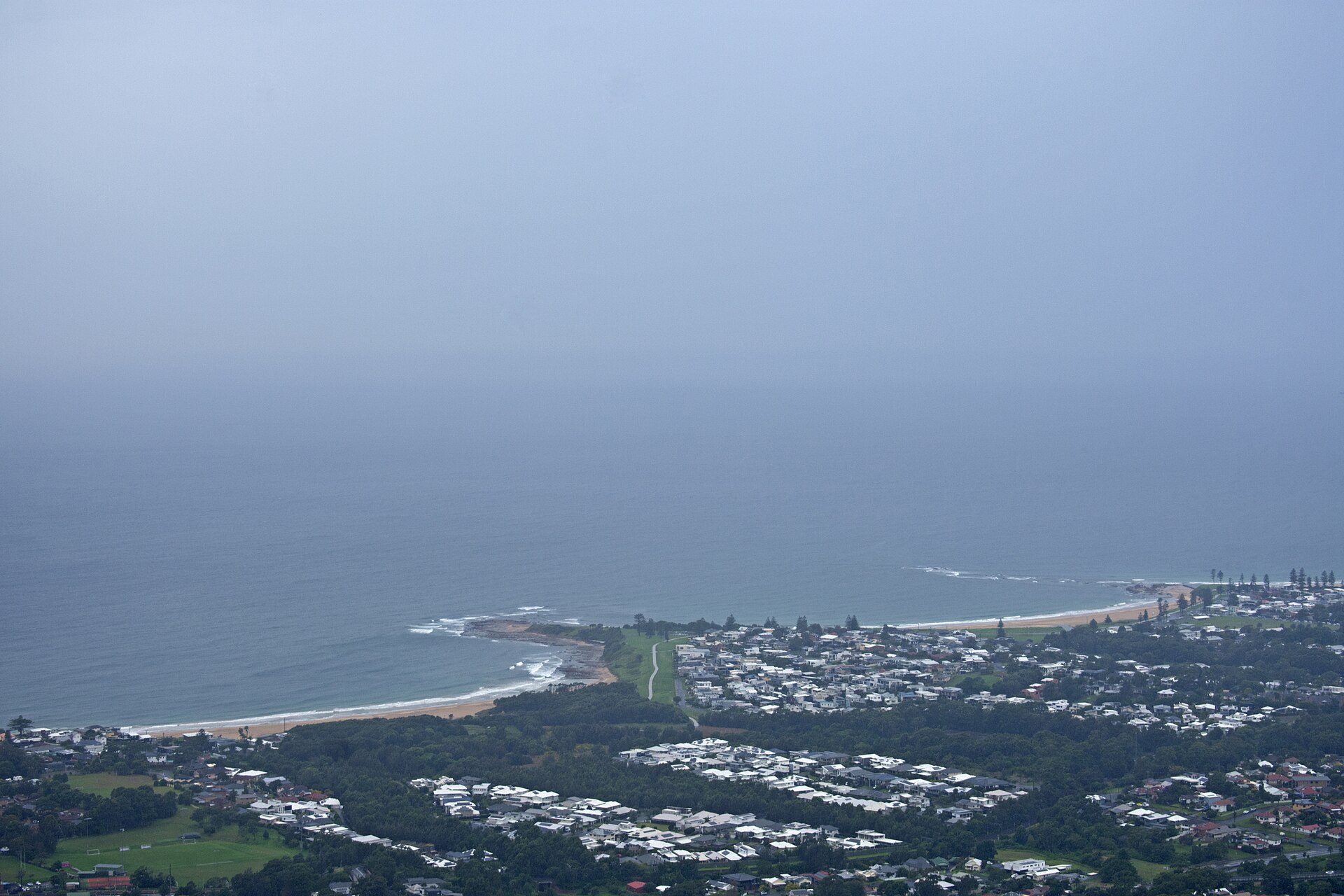
Long-time Wollongong residents know there’s more to the Illawarra than beaches and bike paths. Away from the busy Blue Mile and headline-grabbing Sea Cliff Bridge, a network of hidden bush trails and quiet reserves winds through lush gullies and escarpment foothills-favourites for locals, but mostly off the tourist radar.
Why Off-the-Map Green Spaces Matter
Increasing foot traffic on marquee tracks has prompted many residents to look further afield for calmer outdoor escapes. With winter breaks and school holidays in full swing, popular Wollongong locations like Stuart Park’s shared paths and the walkways around North Wollongong Beach see a large uptick in visitors. Locals seeking solace are turning instead to less publicised routes: shaded trails snaking through Mount Keira Forest, boardwalks beneath cabbage palms at Puckeys Estate Reserve, or spur tracks that disappear into cool groves behind residential blocks in Mangerton and Mount Ousley.
Sharyn O’Donnell, a local fitness instructor who leads small-group nature walks, says these forgotten corners appeal particularly to regular walkers. “Once you’ve hiked Sublime Point or the Botanic Garden’s main tracks a few times, you start exploring the little trails tucked away off Mount Keira Road, or the creek crossings at Para Meadows Reserve. It feels like having a secret backyard bushland.”
Several paths start just minutes from main streets but are easily missed by those without a local tip-off. The Ken Ausburn Track, for instance, rises quietly from a nondescript cul-de-sac in West Wollongong and climbs 5km up to the Mount Keira summit through shaded rainforests. In Figtree, the trails behind O'Brien Road loop through dense bushland to the little-known Byarong Creek picnic area, offering glimpses of honeyeaters and lyrebirds without the crowds found on more famous escarpment routes.
Tucked-Away Trails with Strong Local Support
Community groups help keep these spaces in shape. The Illawarra Escarpment Trails Management Program regularly does maintenance on narrow bush tracks that connect Mount Nebo to Balgownie, while Landcare volunteers clear weeds from the wetlands at Puckeys Estate, a nature reserve sandwiched between Squires Way and Fairy Meadow Beach. On weekends, families and amateur botanists are often found following the lagoon boardwalk or heading west to the upper tracks above Cringila Hills Park, a new urban reserve planted out in 2022 with over 6,000 native shrubs and eucalypts.
Data from Wollongong City Council’s 2025 Parks Usage Report show that well-known ocean tracks, like the Blue Mile Pathway, attract over 1.6 million users annually. However, smaller reserves such as Para Meadows and the Ken Ausburn Track see fewer than 250 walkers per week even during peak seasons, indicating they remain a reliably peaceful option. Access is free, and parking along tracks like the Gum Tree Lane entrance to Puckeys Estate costs nothing on weekdays.
For those interested in getting involved or learning more, Landcare Illawarra and the Council’s Bushcare program run guided walks and maintenance days. Beginners should check out local maps at www.wollongong.nsw.gov.au or download the new Illawarra Walks app, which provides trail maps, accessibility ratings and live weather updates for dozens of hidden routes.
The advice from seasoned explorers? Go early, pack a water bottle, and take an old pair of sneakers-these green corridors change with the light. With a little local knowledge and some curiosity, even the most familiar neighbourhoods reveal their wild side.